Activities in the Parks

Can’t Choose Your Own Adventure? Start Here and Go!

Share

With hundreds of miles of trails threading through 37 distinct sites across 80,000 acres of the Golden Gate National Parks, it can be hard to decide where to go and what to do. Let the Parks Conservancy’s experts be your guide! We’ve carefully curated our favorite hikes, walks, and excursions to share with you and your loved ones. There’s something (and some place) for everyone! We reveal some of the natural wonders and historical highlights you’ll experience along the way, but there are plenty more surprises for you to discover. So browse below, then grab your boots and backpack. Your national parks are waiting.
Dias Ridge Trail
Hikes
  • Hikes
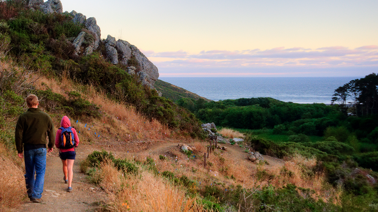
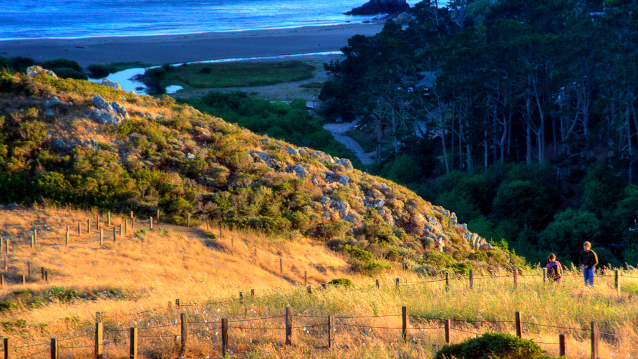
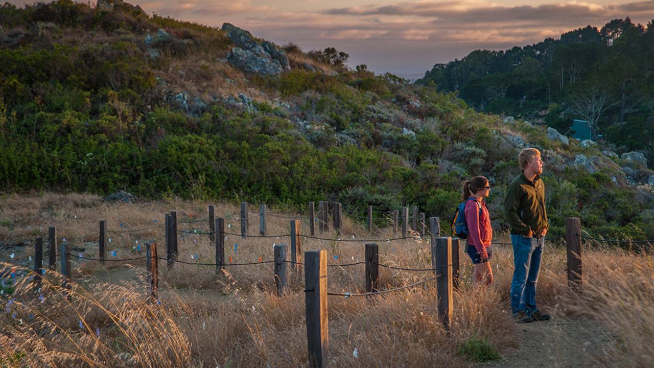
A great hike for a morning that starts off steep and rewards the hiker with an easy wander back to a lovely lunch at The Pelican Inn, meanwhile taking in the incredible views of Muir Beach and the ocean.
Hikers enjoy views from the Dias Ridge Trail
Trail
Difficulty: Very Strenuous

Length

5.00 miles round-trip
Start at the charming 17th-century style Pelican Inn at Muir Beach in Marin and head up the chaparral-covered Dias Ridge . The five-mile trail loops across former dairy ranches and rises 700 feet. At every turn there is another dazzling panorama of the Pacific and the Marin Headlands . Parking...
Views from Dias Ridge
Trail
Difficulty: Easiest

Length

6.13 miles round-trip
Descend along a gorgeous new multi-use trail. From Panoramic Hwy you start out at 700' and drop down to sea level at Muir Beach with spectacular views of the Pacific Ocean for most of the trip while passing over 20,000 newly planted native plants and grasses. The coastal breezes and...
Dias Ridge Trail
Hiking
  • Birding
Descend along a gorgeous new multi-use trail. From Panoramic Hwy you start out at 700' and drop down to sea level at Muir Beach with spectacular views of the Pacific Ocean for most of the trip while passing over 20,000 newly planted native plants and grasses. The coastal breezes and...
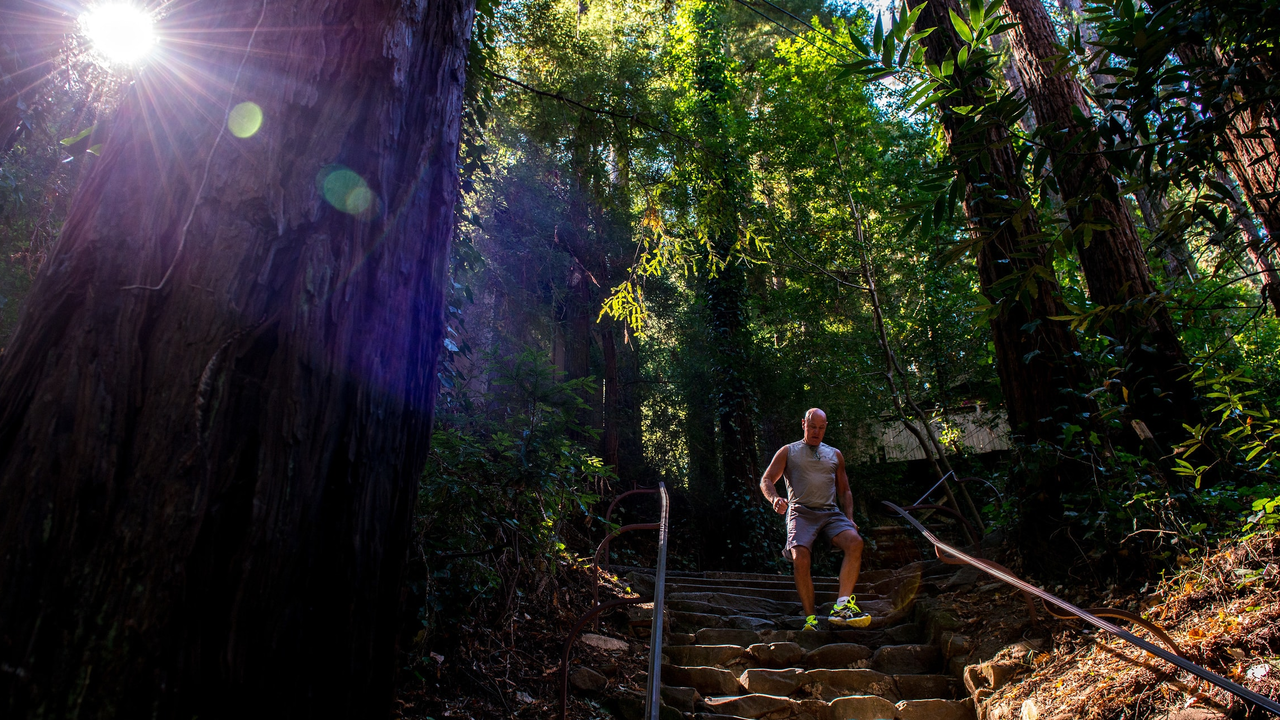
Runner takes on the challenge of the Dipsea Trail
Trail
Difficulty: Strenuous

Length

4.00 miles round-trip
The historic Dipsea Trail and route of the famous foot race, contested since 1905, connects the east side of Mount Tamalpais at Mill Valley with the west side at Stinson Beach.
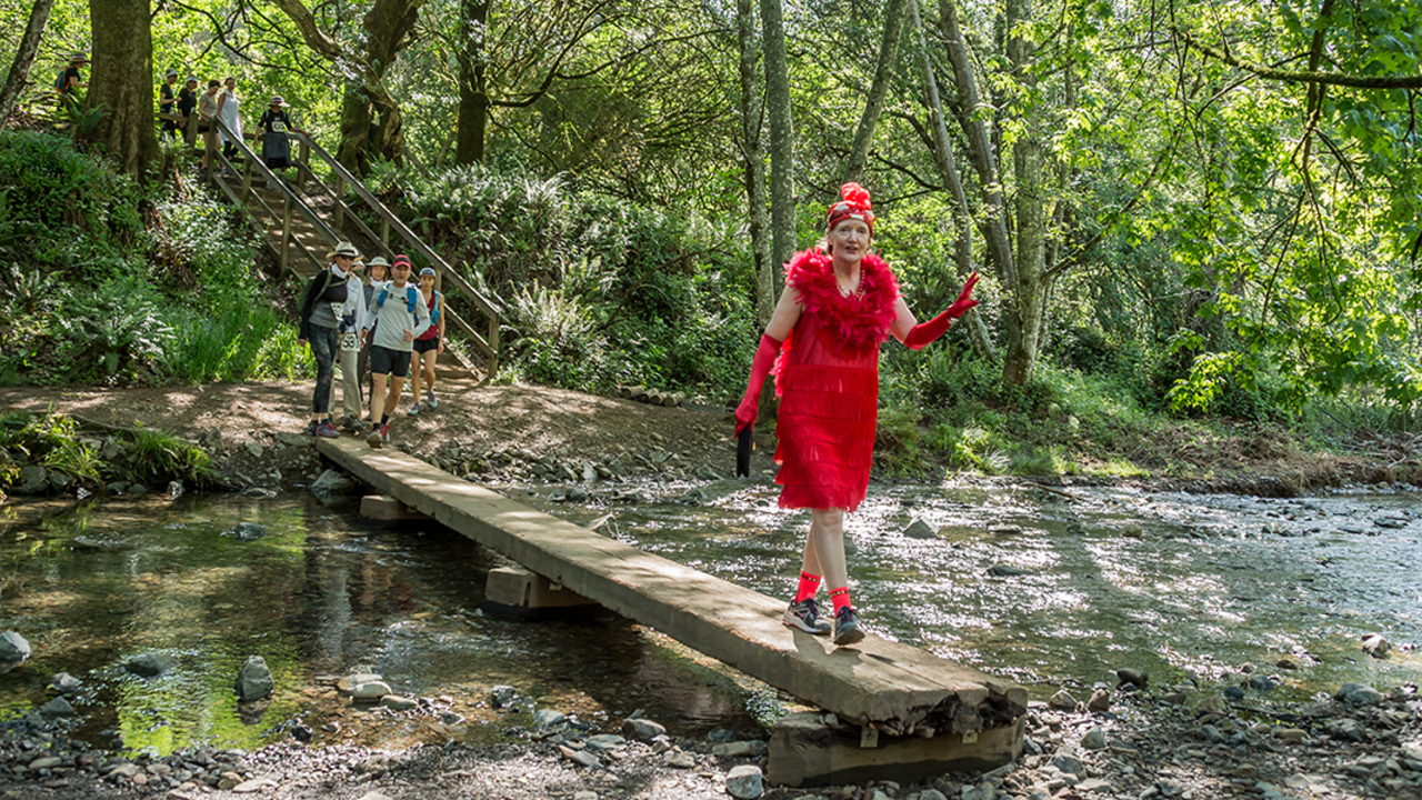
Women’s Dipsea Hike
Hiking
  • Birding
Stretching from Mill Valley to Stinson Beach, the famed Dipsea Trail is for hikers looking for a challenge. It begins in Mill Valley, climbs over a Mt. Tam ridge, passes through Muir Woods , and descends to Stinson Beach . When funding is available, the Tamalpais Lands Collaborative plans to...
Runner takes on the challenge of the Dipsea Trail
Trail
Difficulty: Very Strenuous

Length

9.44 miles round-trip
Stretching from Mill Valley to Stinson Beach , the famed Dipsea Trail is for hikers looking for a challenge.
Fort Baker
Trail
Difficulty: Easiest

Length

1.17 miles round-trip
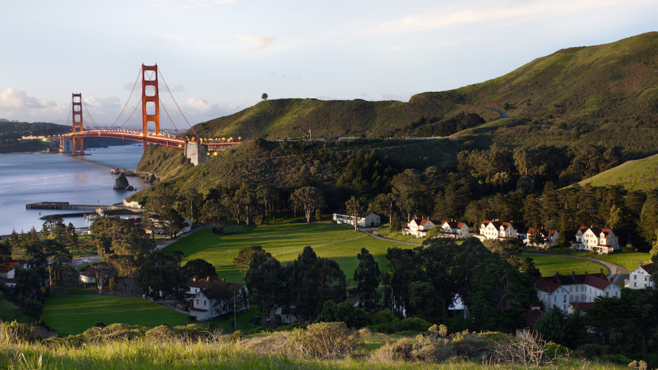
Hiking this trail is a simple out-and-back with a shaded path for the first portion of the trail. After the second bend, the views towards San Francisco and the Golden Gate Bridge are eye catching. At the third bend, Fort Baker comes into view.
Bridge over the Crissy Field Marsh
Trail
Difficulty: Easiest

Length

0.32 miles round-trip
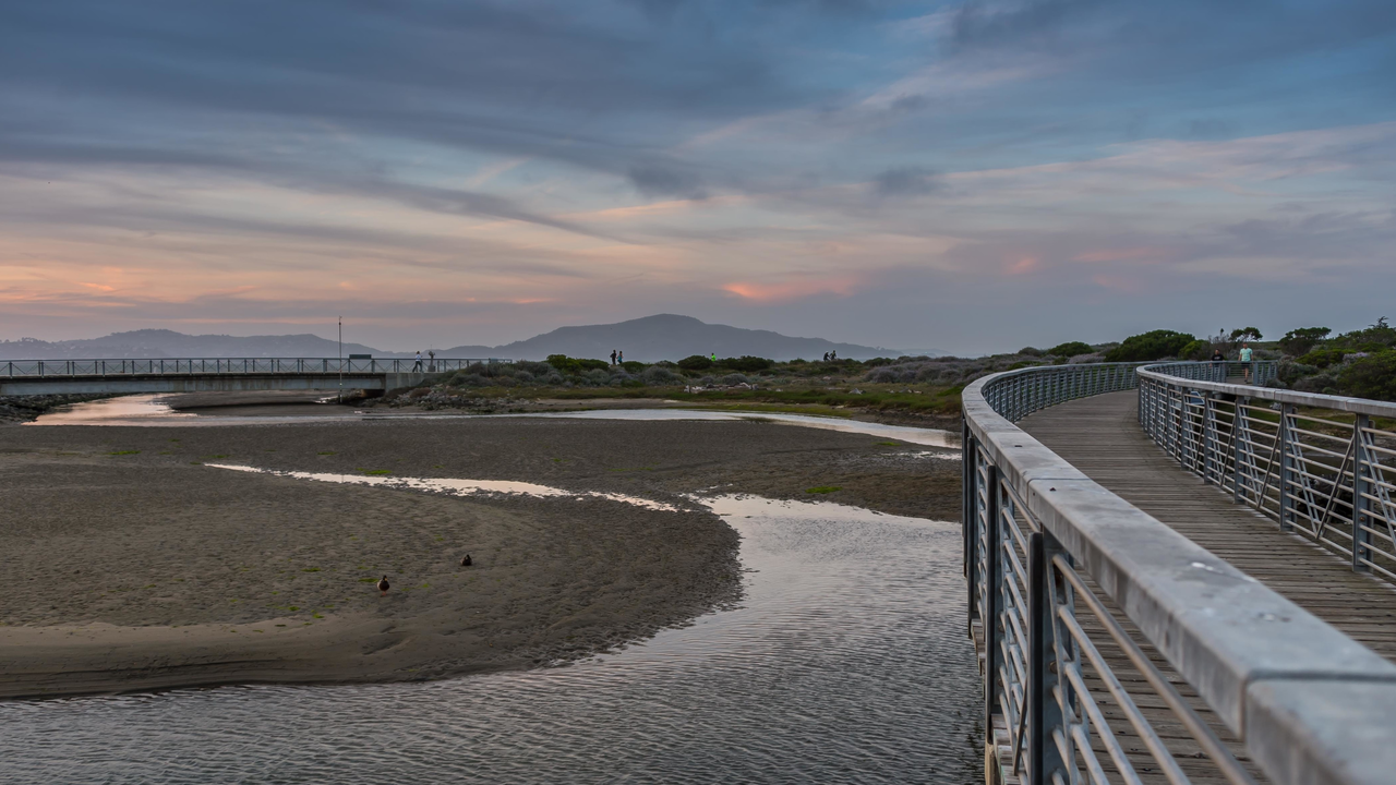
This short trail takes visitors on a boardwalk across the Crissy Marsh, an essential feature of Crissy Field 's dramatic, community-powered transformation in 2001. Today, you'll pass through beautifully restored wildlife habitat and have a chance to see several species of waterbirds, including the majestic great egret.
Cyclist rests by the trail through east Crissy Field
Trail
Difficulty: Easiest

Length

0.21 miles round-trip
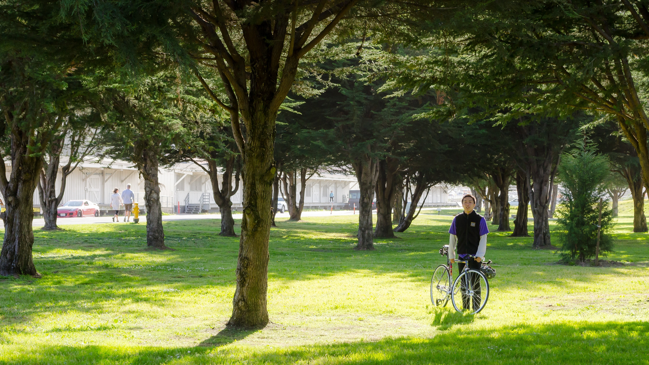
This short connector trail, lined by lovely trees, links the Mason Street bike path to the east Crissy Field parking area. It'll take you by Crissy Field Center , the Parks Conservancy's urban environmental education center in partnership with the National Park Service and Presidio Trust.
Anna's hummingbird
Trail
Difficulty: Easiest

Length

1.60 miles round-trip
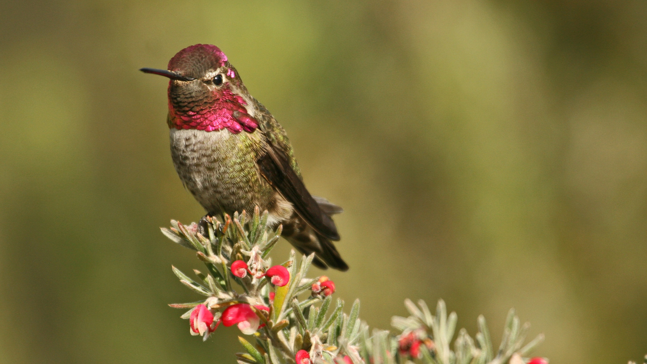
A great hike for nature lovers that connects Arguello Gate to the Presidio 's Main Post. The Ecology Trail is multi-use for pedestrians and cyclists, and connects to the Bay Area Ridge, Mountain Lake, and El Polín Trails.
Enjoying colors of sunset at Lands End
Trail
Difficulty: Easiest

Length

1.20 miles round-trip
The most gorgeous view possible of this location occurs during sunset. The rocky shore is even more dramatic when the surf is rough against it and the sun a warm orange-pink.

Your parks need you now

Your support helps fight climate change and promote park sustainability—please give now.