Activities in the Parks

Can’t Choose Your Own Adventure? Start Here and Go!

Share

With hundreds of miles of trails threading through 37 distinct sites across 80,000 acres of the Golden Gate National Parks, it can be hard to decide where to go and what to do. Let the Parks Conservancy’s experts be your guide! We’ve carefully curated our favorite hikes, walks, and excursions to share with you and your loved ones. There’s something (and some place) for everyone! We reveal some of the natural wonders and historical highlights you’ll experience along the way, but there are plenty more surprises for you to discover. So browse below, then grab your boots and backpack. Your national parks are waiting.

Golden Gate Bridge views from the paths at Fort Mason
Trail
Difficulty: Moderate

Length

0.82 miles round-trip
This segment of the Bay Trail, skirting the northern edge of Fort Mason , features lovely Golden Gate Bridge vistas and an overhead view of the piers and buildings of lower Fort Mason, the port of embarkation from which 1.6 million military personnel shipped out to the Pacific Theater in...
Ben Johnson Trail
Trail
Difficulty: Easiest

Length

2.64 miles round-trip
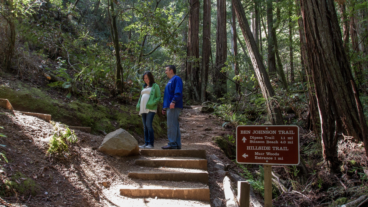
One can start the hike to the Ben Johnson Trail through Muir Woods National Monument by either the Redwood Creek Trail or the Hillside Trail. The steep climb to the ridge snakes through the redwood forest and up through the fog-line onto the grassland and shrub-scaped top of Mount Tamalpais...
Gun at Black Point Battery in Fort Mason
Trail
Difficulty: Easiest

Length

0.35 miles round-trip
During the Civil War, the U.S. Army hastily built two batteries, armed with 10-inch Rodman guns, at a site that locals called Black Point. These armaments at Point San Jose Military Reservation (later called Fort Mason ) served as backup to the fortifications on Alcatraz and at Fort Point ...
Trail atop Bolinas Ridge
Trail

Length

11.90 miles round-trip
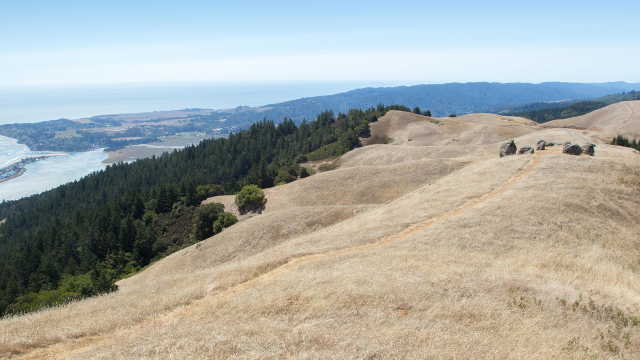
From the top of Bolinas Ridge take in bird’s-eye views up and down the San Andreas Rift Zone. The fault divides Olema Valley , a lovely, undulating landscape reminiscent of England, that dips slowly down to the waters of Tomales Bay in the north, and Bolinas Lagoon in the south...
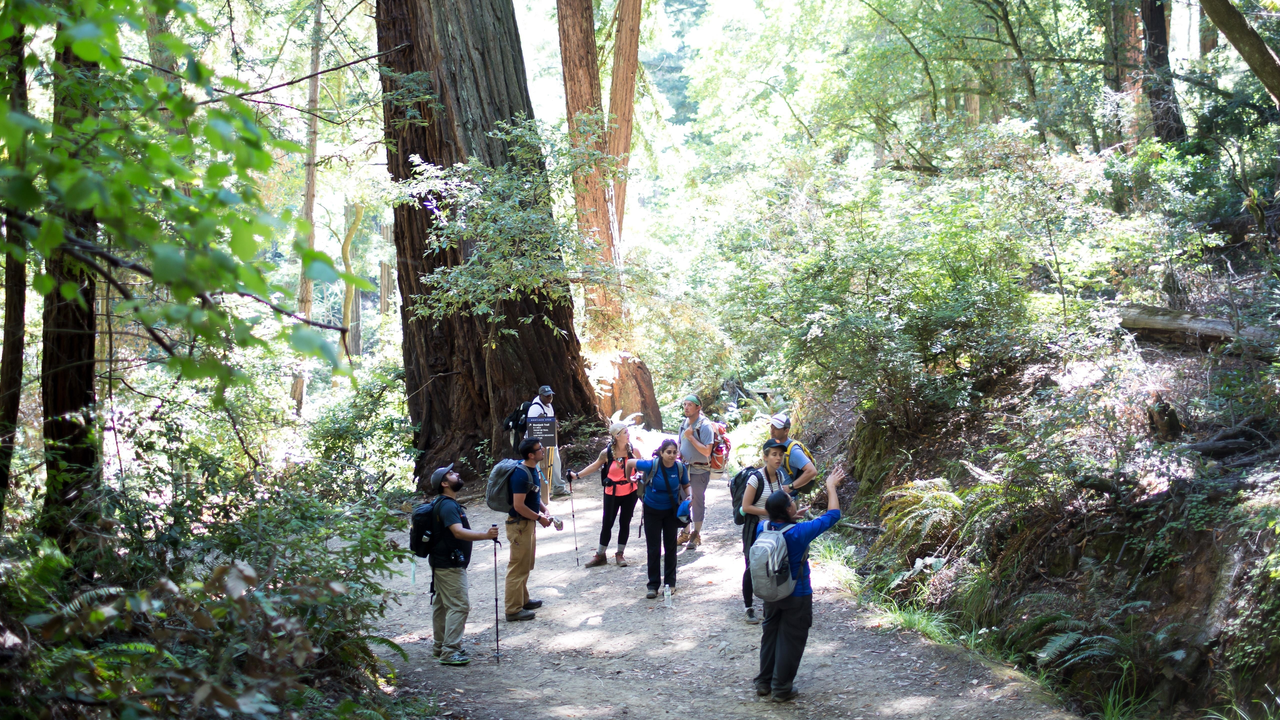
Hikers pause to enjoy the beauty of the Bootjack Trail
Hiking
  • Birding
This climb up the steep slopes of Mt. Tam reveals beautiful vistas of the Bay Area and the Pacific Ocean. The redwoods of Muir Woods gradually give way to Douglas fir, bay laurel, and tanoak as the trail wends upward. From the Bootjack Campground, established in the early 1920s, continue...
Hikers pause to enjoy the beauty of the Bootjack Trail
Trail
Difficulty: Strenuous

Length

4.80 miles round-trip
This climb up the steep slopes of Mt. Tamalpais reveals beatiful vistas of the Bay Area and the Pacific Ocean. The redwoods of Muir Woods gradually give way to Douglas fir, bay laurel, and tanoak as the trail wends upward. From the Bootjack Campground, established in the early 1920s, continue...
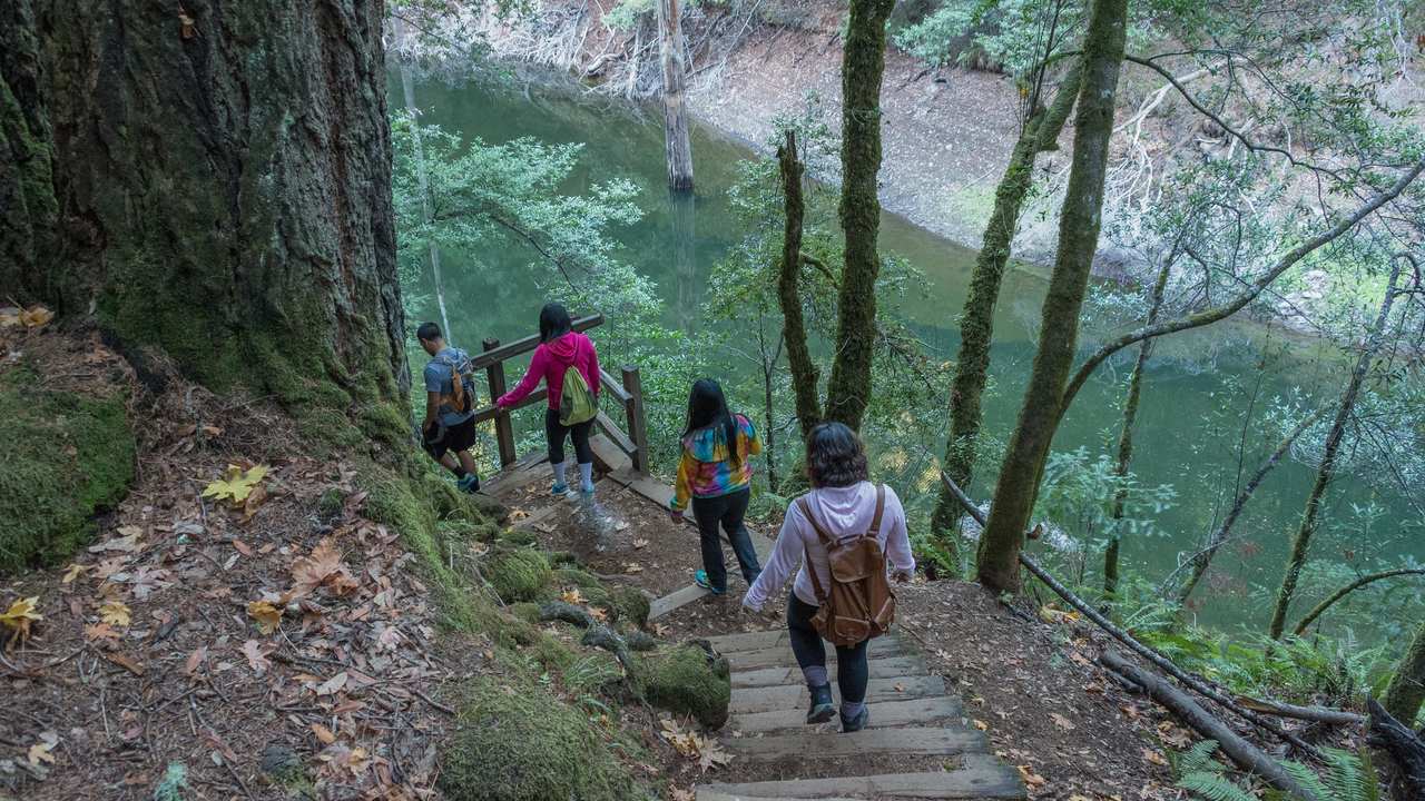
Visitors explore the Cataract Trail
Trail

Length

2.70 miles round-trip
Located on Mount Tamalpais ' wild northern slope, this hike starts on Cataract Trail, passes the Laurel Dell picnic area, then veers on to the High Marsh Trail and on to peaceful Potrero Meadows via the Kent Trail.
Visitors explore the Cataract Trail
Hiking
  • Birding
Located on the mountain’s wild northern slope, this hike starts on Cataract Trail, passes the Laurel Dell picnic area, then veers on to the High Marsh Trail and on to peaceful Potrero Meadows via the Kent Trail. The loop finishes with the Benstein Trail. With varied terrain, terrific views, places...
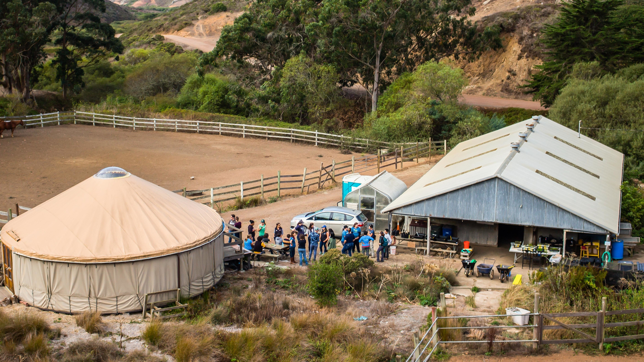
Former Tennessee Valley Native Plant Nursery and adjoining stables
Trail
Difficulty: Easiest

Length

0.66 miles round-trip
This short trail leads to the National Park Service Mounted Patrol Stables and the former Tennessee Valley Native Plant Nursery. This is the halfway point on the way to the Tennessee Valley Beach. There is also a bench where the Chaparral Trail leads off the Tennessee Valley Trail. You'll find...
Fort Baker Chapel
Trail
Difficulty: Easiest

Length

0.31 miles round-trip
At the rear of the newer Cavallo Point buildings at Fort Baker , you'll discover a set of stairs that connect you with the Drown Road Trail. Highlights include sensational views of the Golden Gate, and, of course, the historic post chapel itself (now a picturesque event and wedding venue).
Gradual descent to the surf at China Beach
Trail
Difficulty: Moderate

Length

0.11 miles round-trip
Access to the beach is via a paved drive or stairway down from the parking lot to water level.
Trail
Difficulty: Easiest

Length

0.28 miles round-trip

Your parks need you now

Your support helps fight climate change and promote park sustainability—please give now.