Hard

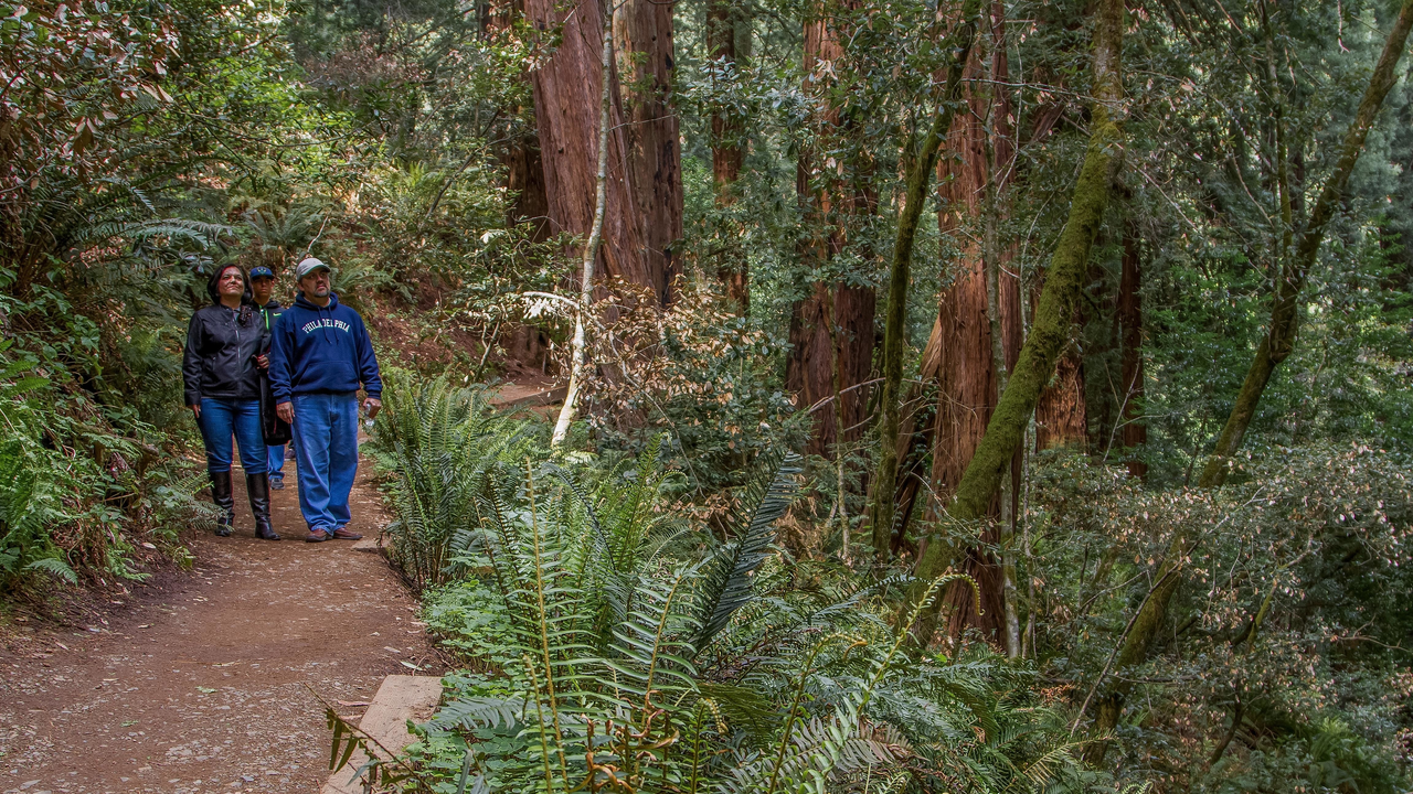
Visitors stroll through Muir Woods
Trail
Difficulty: Easiest

Length

1.41 miles round-trip
Most hikers utilize this trail to complete the shorter loop through the Muir Woods National Monument . This direction is a gradual climb and connects with the Redwood Creek Trail at the end of the valley. Expect a good amount of traffic going in both directions. The trail is well-maintained...
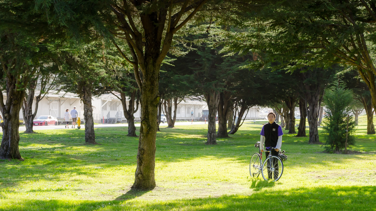
Cyclist rests by the trail through east Crissy Field
Trail
Difficulty: Easiest

Length

0.21 miles round-trip
This short connector trail, lined by lovely trees, links the Mason Street bike path to the east Crissy Field parking area. It'll take you by Crissy Field Center , the Parks Conservancy's urban environmental education center in partnership with the National Park Service and Presidio Trust.
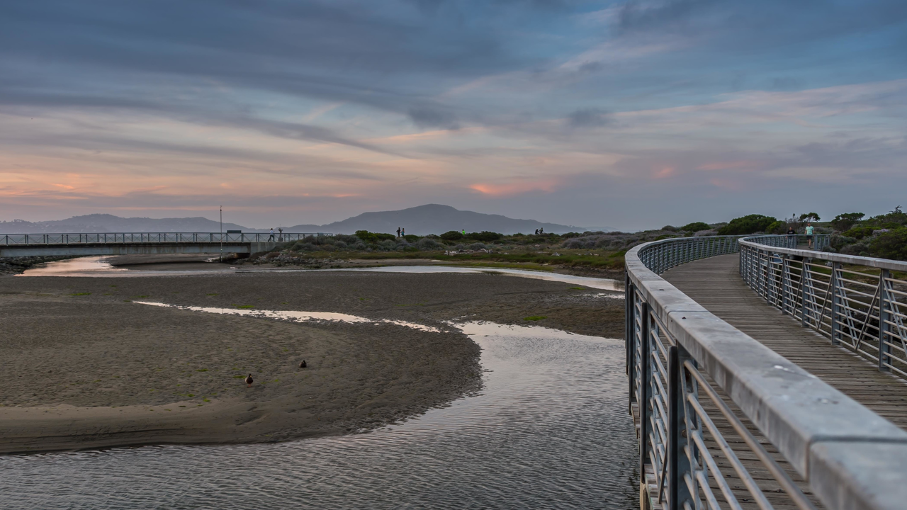
Bridge over the Crissy Field Marsh
Trail
Difficulty: Easiest

Length

0.32 miles round-trip
This short trail takes visitors on a boardwalk across the Crissy Marsh, an essential feature of Crissy Field 's dramatic, community-powered transformation in 2001. Today, you'll pass through beautifully restored wildlife habitat and have a chance to see several species of waterbirds, including the majestic great egret.
Joggers enjoy the Crissy Field Promenade
Trail
Difficulty: Easiest

Length

3.44 miles round-trip
Restored in 2001, Crissy Field wasted no time in becoming a San Francisco icon and a gem of the Parks Conservancy. The former military airfield now sports a clean, smooth promenade with views of the Golden Gate, Alcatraz , and the North and East Bays.
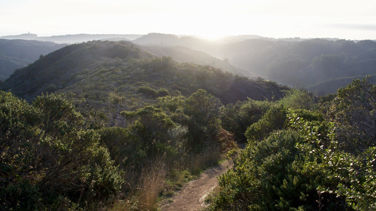
Skyline view from Coyote Ridge Trail
Trail
Difficulty: Easiest

Length

1.52 miles round-trip
Running along Coyote Ridge, this trail presents visitors with panoramic, eye-popping views of San Francisco, the Pacific, the rolling hills and valleys of the Marin Headlands , and, on clear days, even Mt. Diablo far to the east. This trail can be reached by a number of trails from Muir...
Golden Gate Bridge view from Battery Yates at Fort Baker
Trail
Difficulty: Easiest

Length

0.30 miles round-trip
After visiting Cavallo Point and the beautifully restored Colonial Revival buildings along the main parade at Fort Baker , be sure to make a side trip to Battery Yates, located just off Satterlee Road.
San Francisco garter snake
Trail
Difficulty: Easiest

Length

0.38 miles round-trip
The Lishumsha Trail takes visitors from the flat Old Mori Road Trail up the hill toward the blufftops at Mori Point . "Lishumsha" is the local Ohlone Native word for "garter snake"--an allusion to the endangered San Francisco garter snake that is protected at Mori Point, and which is making...
Path winding through Rancho Corral de Tierra
Trail
Difficulty: Easiest

Length

1.84 miles round-trip
This trail offers another portal into the sprawling, wild landscapes of Rancho Corral de Tierra . Find the signed trailhead at the end of Kanoff Street (cross-street 2nd) in Montara. After an opening stretch through coastal meadow, the trail gets steep and continues to climb steadily. It will eventually take...
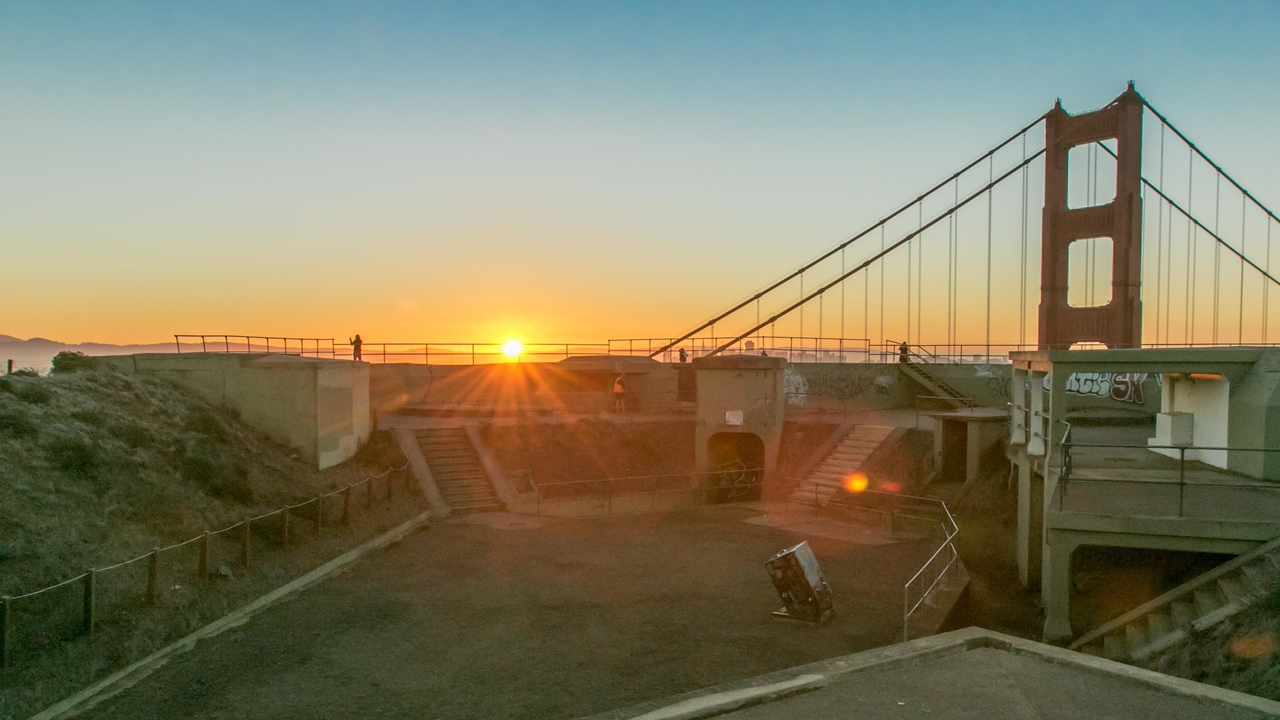
Sunrise from Battery Spencer
Trail
Difficulty: Easiest

Length

0.86 miles round-trip
Battery Spencer Trail is a 0.5 mile heavily trafficked loop trail located near Sausalito, California that offers scenic views and is good for all skill levels. The trail is primarily used for hiking and walking and is accessible year-round.
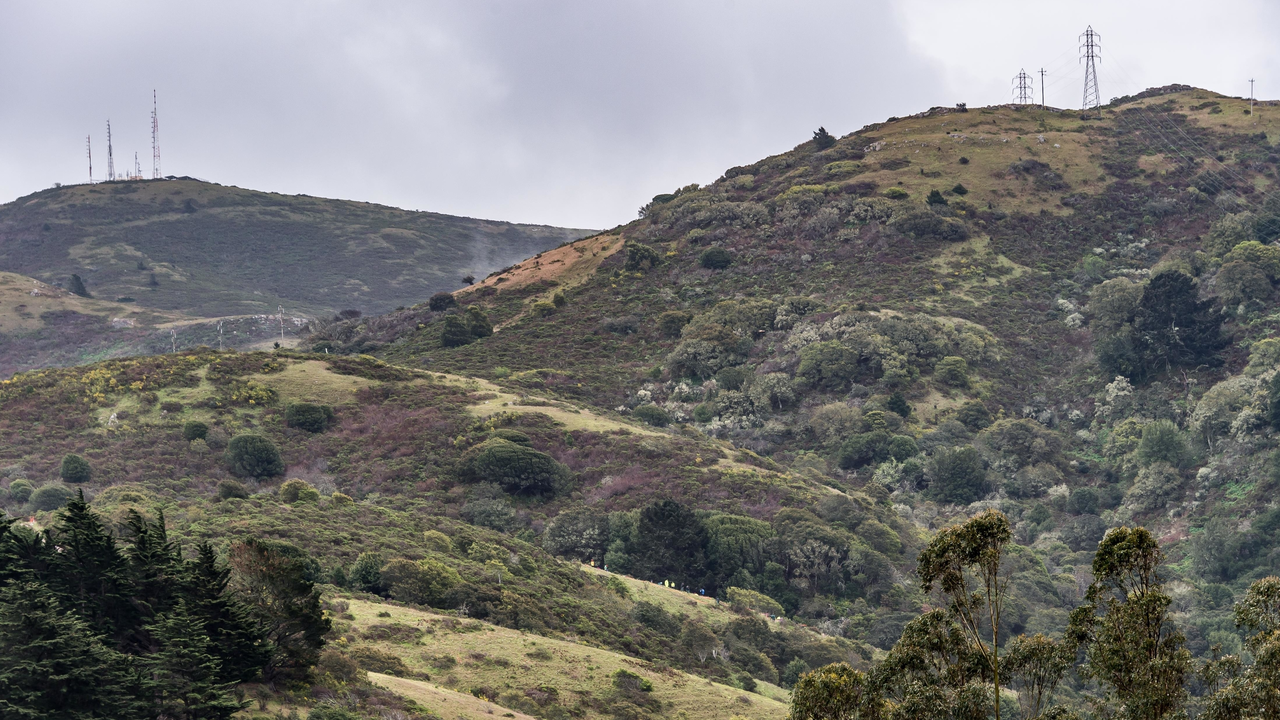
Habitat restoration volunteers work on Alta Ridge
Trail

Length

5.02 miles round-trip
This is a long but gradual climb from the eastern side of the Marin Headlands . This fire road is in good condition, making for an easy route to meander along.