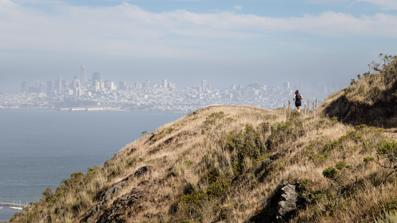
SCA Trail

Ryan Curran White / Parks Conservancy
A hike along the SCA Trail will provide a breathless vista of the Golden Gate Bridge and the surrounding Bay. When the sun is shining and the fog is lifted, hiking along this trail will make memories that will last a lifetime. Experience what the Golden Gate Bridge looks like from this north side!
The well-maintained trail is cut into the side of the mountain and faces westward.
How to Get there
There is parking at the southern trailhead, along Conzelman Road and at the Headlands Parking Lot.
Safety Tips
- Stay on the established trail. Keep an eye out for poison oak. Read our four season guide to poison oak.
- Observe warning signs and railings-these exist for your safety.
- Dress in layers and be prepared for varying weather conditions. Sunny days along the coast can turn windy, foggy, and cold very fast. View our Golden Gate Bridge webcams to see current conditions.
- Do not climb on the coastal bluffs or edges, the sand and rocks are loose and eroding and dangerous!
- People have fallen from these cliffs.