Follow the Tam Van!
Our Mobile Visitor Center
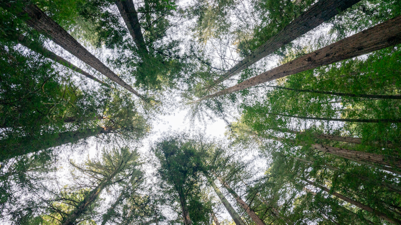
Walk and learn under the trees

Monica Stafford / Parks Conservancy
Forest and woodland comprise over a third of Marin County and provide us with clean air, drinking water, recreational opportunities, habitat for diverse species, and more. They also have significant cultural value.
Today, forests face threats such as diseases, introduced weeds, fire exclusion, human-caused climate change, and more.
These self-guided walks offer a glimpse into what forests need to be healthy, and how our One Tam partnership is working to address these threats on our Marin public lands, improve forest health, and evolve our understanding of caring for forests.

The trail around Lake Lagunitas, Mt. Tamalpais offers a glimpse into efforts to restore forests. Take a walk through the different habitats along this trail to learn what’s stressing our forests, and which tools are being used in this area to care for them. All while enjoying views of the lake and the wildlife that thrive here!
This walk starts in the Lake Lagunitas parking lot and leads you counterclockwise around the lake. Get updated information about visiting the Mt. Tamalpais Watershed.
A (Virtual) Walk in the Woods | Length: 1.7 to 2.6-mile loop | Elevation: 394 ft

Download PDF:
Lake Lagunitas Self-guided Forest Walk | published June 2023
Paseo Autoguiado por el Bosque del Lago Lagunitas (Spanish version) | published August 2023
LEARN MORE ABOUT: Forest health
You can support this work and get involved, so that Roy's Redwoods and other beloved places will thrive for future generations to enjoy.
BECOME A MEMBER: Join support this work and to access member events at onetam.org/become-member.
VOLUNTEER: See opportunities to get involved in caring for our public lands at onetam.org/calendar
Questions or comments about this self-guided experience can be shared with info@onetam.org

Note: Some parks in Marin County require an entry fee. Use your Marin County Free Library card to check out a Park Pass and visit for free!


Follow the Tam Van!
Our Mobile Visitor Center

Self-guided Forest Walk at Rock Spring

Self-guided Forest Walk at Marin City

Self-guided Forest Walk at Roy's Redwoods

© 2026 Golden Gate National Parks Conservancy. All rights reserved.