Activities in the Parks

Can’t Choose Your Own Adventure? Start Here and Go!

Share

With hundreds of miles of trails threading through 37 distinct sites across 80,000 acres of the Golden Gate National Parks, it can be hard to decide where to go and what to do. Let the Parks Conservancy’s experts be your guide! We’ve carefully curated our favorite hikes, walks, and excursions to share with you and your loved ones. There’s something (and some place) for everyone! We reveal some of the natural wonders and historical highlights you’ll experience along the way, but there are plenty more surprises for you to discover. So browse below, then grab your boots and backpack. Your national parks are waiting.

Hikers pause to enjoy the beauty of the Bootjack Trail
Hiking
  • Birding
This climb up the steep slopes of Mt. Tam reveals beautiful vistas of the Bay Area and the Pacific Ocean. The redwoods of Muir Woods gradually give way to Douglas fir, bay laurel, and tanoak as the trail wends upward. From the Bootjack Campground, established in the early 1920s, continue...
Deer Park Fire Road
Trail
Difficulty: Easiest

Length

4.81 miles round-trip
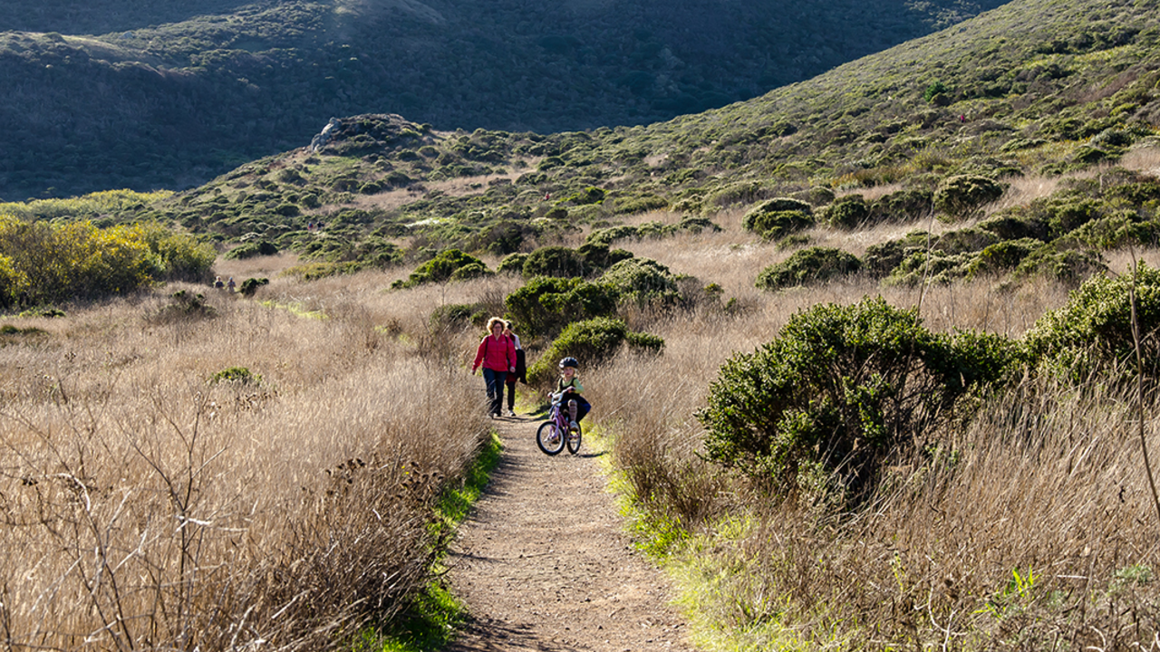
This lovely trail in the Mt. Tamalpais Watershed features spectacular vistas, shady forests, springtime wildflowers, and plenty of connections with other trails. Be aware that this one is popular with mountain bikers, so everyone should stay alert and courteously share the trail.
Runner takes on the challenge of the Dipsea Trail
Trail
Difficulty: Strenuous

Length

4.00 miles round-trip
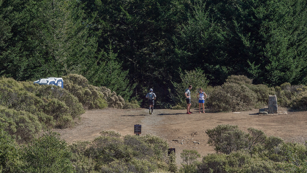
The historic Dipsea Trail and route of the famous foot race, contested since 1905, connects the east side of Mount Tamalpais at Mill Valley with the west side at Stinson Beach.
Runner takes on the challenge of the Dipsea Trail
Trail
Difficulty: Very Strenuous

Length

9.44 miles round-trip
Stretching from Mill Valley to Stinson Beach , the famed Dipsea Trail is for hikers looking for a challenge.
Visitors stroll through Muir Woods
Trail
Difficulty: Easiest

Length

1.41 miles round-trip
Most hikers utilize this trail to complete the shorter loop through the Muir Woods National Monument . This direction is a gradual climb and connects with the Redwood Creek Trail at the end of the valley. Expect a good amount of traffic going in both directions. The trail is well-maintained...
Intersection of the Lost Trail and Canopy View Trail
Trail
Difficulty: Easiest

Length

1.09 miles round-trip
From the top descending into Muir Woods National Monument , you'll find switchbacks, loose footing, and plenty of roots and branches and rocks to step over. The descent will take you through a fast-changing landscape. You'll be shaded most of the way with pockets of light sneaking in between the...
Hikers near Muir Beach
Trail

Length

7.70 miles round-trip
Ditch the summer fog in San Francisco for the sunny peaks of our Golden Gate National Parks in Marin County. Have some fun in the sun on this moderate eight mile hike and finish it off with a frothy pint at the local English inn! Along the way, you'll see...
Hikers pause to enjoy the beauty of the Bootjack Trail
Hiking
  • Hikes
This is one hike that will leave every hiker amazed at this natural wonder and grateful the environmental activists of the past stood up against the powerful forces of unchecked urbanization.
Fern Creek Trail
Trail

Length

5.40 miles round-trip
Leaving from the immensely popular Muir Woods National Monument , this hike is a good example of the hikers “rule-of-halves.” This rule states that the number of hikers on trail decreases by half every half mile. While the math may not be exact, the corollary that the density decreases dramatically...
Panoramic Trail meets the Canopy View Trail at this rock
Trail
Difficulty: Easiest

Length

1.87 miles round-trip
This trail provides views above the fog, and connects to a short out and back or numerous other trails, for loops down into the valley below. Overlooking the Muir Woods National Monument and the Pacific Coast, the vistas are breathtaking. Look for the Farallon Islands, ships passing by, and more...
Pathway steps at Camp Alice Eastwood
Trail
Difficulty: Easiest

Length

0.41 miles round-trip
Plevin Cut is a hiking trail in Marin County, California. It is within Mount Tamalpais State Park. It is 0.2 miles long and begins at 482 feet altitude. Traveling the entire trail is 0.3 miles with a total elevation gain of 116 feet. Near the trailhead there are picnic sites,...
Boardwalk trail along Redwood Creek through Muir Woods
Trail
Difficulty: Easiest

Length

2.03 miles round-trip
From the visitor center, begin this trail through a valley of old-growth coast redwoods. This will be an outing like no other, due to the incredible trees that line this trail. If you need, there are plenty of benches to sit back and look up from. Muir Woods National Monument...

Your parks need you now

Your support helps fight climate change and promote park sustainability—please give now.