Activities in the Parks

Can’t Choose Your Own Adventure? Start Here and Go!

Share

With hundreds of miles of trails threading through 37 distinct sites across 80,000 acres of the Golden Gate National Parks, it can be hard to decide where to go and what to do. Let the Parks Conservancy’s experts be your guide! We’ve carefully curated our favorite hikes, walks, and excursions to share with you and your loved ones. There’s something (and some place) for everyone! We reveal some of the natural wonders and historical highlights you’ll experience along the way, but there are plenty more surprises for you to discover. So browse below, then grab your boots and backpack. Your national parks are waiting.

Hikers pause to enjoy the beauty of the Bootjack Trail
Hiking
  • Birding
This climb up the steep slopes of Mt. Tam reveals beautiful vistas of the Bay Area and the Pacific Ocean. The redwoods of Muir Woods gradually give way to Douglas fir, bay laurel, and tanoak as the trail wends upward. From the Bootjack Campground, established in the early 1920s, continue...
Hikers pause to enjoy the beauty of the Bootjack Trail
Trail
Difficulty: Strenuous

Length

4.80 miles round-trip
This climb up the steep slopes of Mt. Tamalpais reveals beatiful vistas of the Bay Area and the Pacific Ocean. The redwoods of Muir Woods gradually give way to Douglas fir, bay laurel, and tanoak as the trail wends upward. From the Bootjack Campground, established in the early 1920s, continue...
Visitors explore the Cataract Trail
Trail

Length

2.70 miles round-trip
Located on Mount Tamalpais ' wild northern slope, this hike starts on Cataract Trail, passes the Laurel Dell picnic area, then veers on to the High Marsh Trail and on to peaceful Potrero Meadows via the Kent Trail.
Visitors explore the Cataract Trail
Hiking
  • Birding
Located on the mountain’s wild northern slope, this hike starts on Cataract Trail, passes the Laurel Dell picnic area, then veers on to the High Marsh Trail and on to peaceful Potrero Meadows via the Kent Trail. The loop finishes with the Benstein Trail. With varied terrain, terrific views, places...
Hikers enjoy views from the Dias Ridge Trail
Trail
Difficulty: Very Strenuous

Length

5.00 miles round-trip
Start at the charming 17th-century style Pelican Inn at Muir Beach in Marin and head up the chaparral-covered Dias Ridge . The five-mile trail loops across former dairy ranches and rises 700 feet. At every turn there is another dazzling panorama of the Pacific and the Marin Headlands . Parking...
Dias Ridge Trail
Hiking
  • Birding
Descend along a gorgeous new multi-use trail. From Panoramic Hwy you start out at 700' and drop down to sea level at Muir Beach with spectacular views of the Pacific Ocean for most of the trip while passing over 20,000 newly planted native plants and grasses. The coastal breezes and...
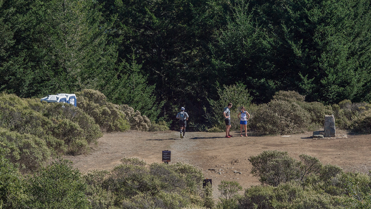
Runner takes on the challenge of the Dipsea Trail
Trail
Difficulty: Strenuous

Length

4.00 miles round-trip
The historic Dipsea Trail and route of the famous foot race, contested since 1905, connects the east side of Mount Tamalpais at Mill Valley with the west side at Stinson Beach.
Women’s Dipsea Hike
Hiking
  • Birding
Stretching from Mill Valley to Stinson Beach, the famed Dipsea Trail is for hikers looking for a challenge. It begins in Mill Valley, climbs over a Mt. Tam ridge, passes through Muir Woods , and descends to Stinson Beach . When funding is available, the Tamalpais Lands Collaborative plans to...
Runner takes on the challenge of the Dipsea Trail
Trail
Difficulty: Very Strenuous

Length

9.44 miles round-trip
Stretching from Mill Valley to Stinson Beach , the famed Dipsea Trail is for hikers looking for a challenge.
Hikers enjoy the wonders of the Matt Davis Trail
Trail
Difficulty: Very Strenuous

Length

13.60 miles round-trip
The magnificent Matt Davis Trail is one of the main thoroughfares to experience the glory of Mt. Tamalpais .
West Point Inn
Hiking
  • Hikes
Difficulty: Moderate A wonderful loop hike on Mt. Tam with a stop at the historic West Point Inn for lemonade or a snack and a panoramic view.
Panoramic Trail meets the Canopy View Trail at this rock
Hiking
  • Birding
Skip the crowds at Muir Woods , and explore the Redwood Creek watershed from Mount Tamalpais State Park. Begin the hike at the north end of the Mountain Home Inn parking lot and head down Camp Alice Eastwood fire road. A short distance down the road, take the Troop 80...

Your parks need you now

Your support helps fight climate change and promote park sustainability—please give now.