Here's what rising tides tell us about climate resilience
Tracking royal tides across the GGNRA and our parks

Kelly Sullivan / For the Parks Conservancy
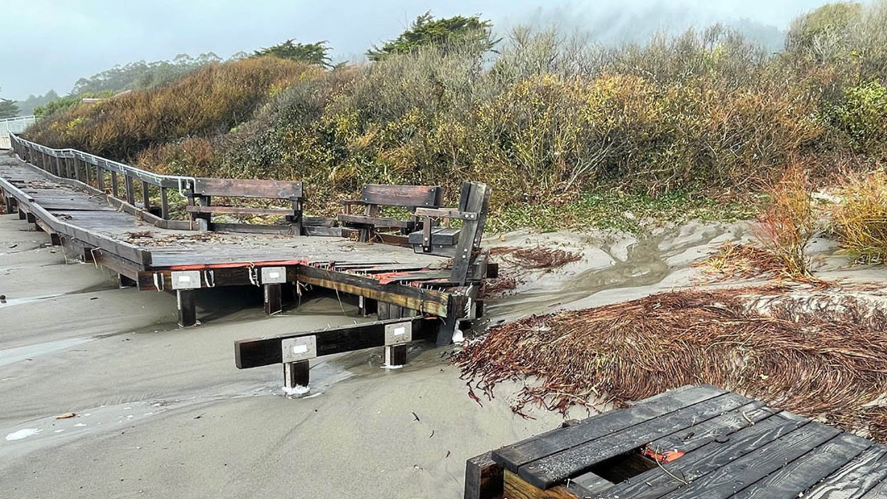
There’s no place like the California coast. The Golden Gate National Recreation Area (GGNRA) is home to 91 miles of precious shoreline used for recreation, learning, and general enjoyment by people and the many living things which populate our varied coastal ecosystems. But the water has a message to tell us. In the winter of 2024, as storms raged, flooding paths and ripping apart beach walkways, the message was clear: Watch out!
The highest tides of the year are royal tides A.K.A. king tides. These naturally occurring events happen a few times in a calendar year when the gravitational pull of the aligned sun, moon, and Earth are strongest.
While this phenomenon is normal, when these high tides occur during times of excessive raining or flooding, like the record-breaking rain of early 2023 and the squalls that appeared again at the end of the same year, there is an increased chance for damage to occur.
As exceptional weather events happen more frequently due to human caused climate change, when these tides arrive during the year, we have the opportunity to see current flood risks while getting a better idea of what higher sea levels might look like in the future. According to the 2018 update to the State of California Sea-Level Rise Guidance, San Francisco is projected to see sea level rise between 1.1-2.7 feet by 2050. By 2100, rising water levels could reach between 3.4-6.9 feet.

In the shadow of Mt. Tamalpais, down in the valley and across the highway, the Bay Trail winds its way through Bothin Marsh, a 106-acre preserve through which Mt. Tam’s Coyote Creek drains into the Richardson Bay. The tidal wetlands, slough and marsh at Bothin support native and rare plants and provide habitat for hundreds of native birds and wildlife, including the adorable and endangered salt marsh harvest mouse.
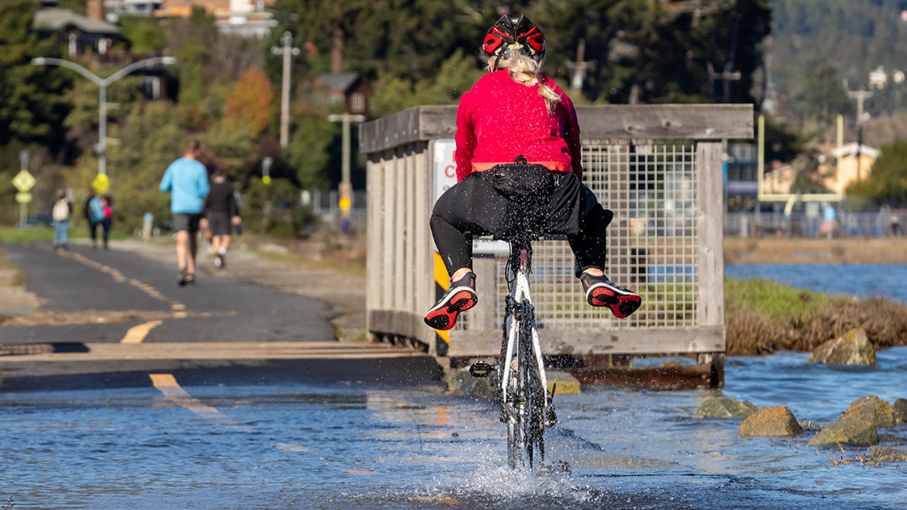
At any given time on the multi-use trail, you can spot birders tracking migratory birds passing overhead on the Pacific Flyway, cyclists spinning through on their commutes or morning workouts, and people taking their dogs or just themselves out for a walk. It is a recreation area for residents and visitors, an entire ecosystem, and it is also completely underwater during these high tides.
Across the way at Stinson Beach, when the tides rise, Easkoot Creek, a creek ecosystem supporting remnant populations of the threatened Central California Coast steelhead trout, overflows, creeping through the paved beach lots and limiting access to the popular site.

What are we to do when areas that mean so much to us and the flora and fauna that make their homes here are so clearly at risk?
The simple answer is that we pay attention, we learn, and we adapt. Planned improvements for the paved lots at Stinson pay special attention to the natural features of the site, including the creek and the dunes. Instead of interventions like seawalls, which can have adverse effects to delicate beaches, dune systems are being investigated for their ability to provide a “nature-based” protection system against sea level rise, minimizing beach erosion while protecting the shoreline. At Bothin, the Evolving Shorelines Project is also using nature-based approaches to adapt to a changing climate, raising funds to work with our engineers to refine restoration and trail designs for the pathway.
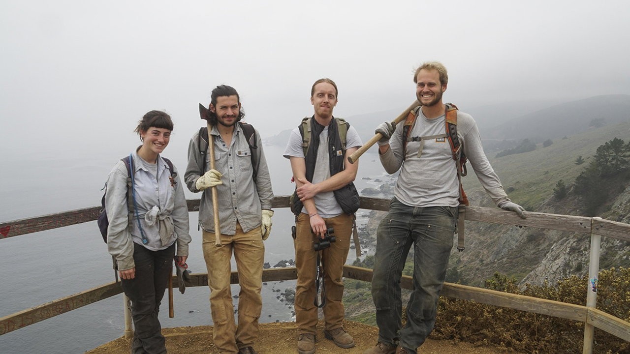
You can join in, too, by supporting the restoration of these vital habitats and ecosystems by becoming a volunteer steward in the parks with the Parks Conservancy. Or join a statewide community science effort by safely documenting the royal tides in coastal and shoreline areas as a part of the California King Tides Project.


